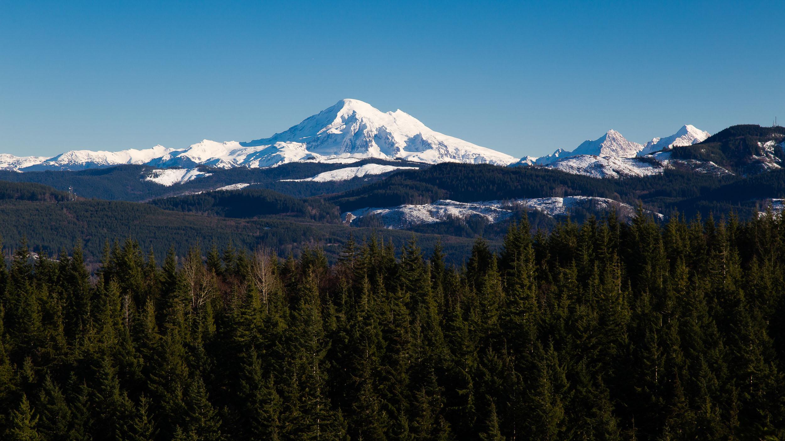
Chuckanut Mountains
The Chuckanut Mountain are the only location where the Cascade Mountains meet the sea. Rising over 2,000 feet above sea level, the Chuckanuts are popular for hiking, mountain biking and horseback riding. The proximity to the sea and lower elevation make the Chuckanut's a great winter destination when higher elevations are covered in snow.

Chuckanut Creek Bridge
Chuckanut Creek flows along the north end of the Chuckanut Mountains; much of it through Arroyo Park. This is a great location to access the many trails in the Chuckanut's, view salmon spawning in the fall or just a leisurely walk. This is a very popular location for trail runners.

Blanchard Mountain Overlook
Blanchard Mountain is on the southern end of the Chuckanuts. It is popular with hikers and hang gliders. The viewpoint can be accessed by foot or car. Views are to the south into Skagit County and west to the San Juan Islands.
http://www.wta.org/go-hiking/hikes/mount-blanchard

Chuckanut Falls
Off the beaten path is Chuckanut Falls. This is a seasonal waterfall that requires a relatively easy hike off the main path along a dead end trail. Best time to visit is late fall after heavy rains. From Arroyo Park, take the Lost Lake Trail to Chuckanut Falls Trail.

Mount Baker from Chuckanut Ridge Trail
The Ridge Trail provides excellent views of the Cascade Mountains in one direction and the Salish Sea and San Juan Islands in the other direction. The trail runs from Cleator Road to Arroyo Park.
Taken from somewhere near here.

Chuckanut Bay and Salish Sea
This gem view can be seen from Cleator Road. Pay attention to subtle openings in the trees, pull over and walk along the side of the road to capture this view.
